Can’t find your seat at Levi’s Stadium? Frequently get lost inside San Francisco International Airport? Apple is developing a solution to all your indoor mapping needs.
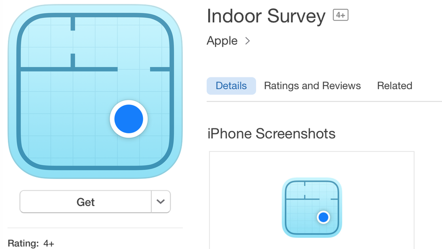
Without much fanfare, the company launched the Indoor Survey App on iOS, which will allow businesses to map out their venues via an iPhone. The app was first noticed by developer Steve Troughton-Smith via Twitter on Sunday. The app will not appear in search, but can be accessed via this link.
Get A.M. business scoops. Subscribe to SVBJ's free morning email newsletter.
How does it work?
Business owners will be able to map their venues by walking through them.
"Enable indoor positioning within a venue using the Indoor Survey App," the app description stated on iTunes. "By dropping 'points' on a map within the Survey App, you indicate your position within the venue as you walk through. As you do so, the Indoor Survey App measures the radio frequency (RF) signal data and combines it with an iPhone's sensor data."
Radio signals and Wi-Fi
The app uses a combination of both radio signals and Wi-Fi to track locations, according to AppleInsider. The tech is akin to the type developed by the Palo Alto-based WiFiSlam, which Apple acquired in 2013 for $20 million. WiFiSLAM used Wi-Fi signals to identify user locations inside buildings where GPS won’t work.
Expanding on existing products
The Indoor Survey App will add to some recent innovations Apple has already created for indoor navigation.
Last year, Apple launched Apple Maps Connect, which invited large businesses to submit indoor mapping information. Participating venues had to be accessible to the general public, offer Wi-Fi connectivity throughout and attract more than one million visitors annually. Indoor positioning has already been added for locations including the California Academy of Sciences in San Francisco and the Mineta San Jose International Airport, per a report from 9to5Mac.
In 2013, Apple also created iBeacons, which allowed retailers and venue owners to deliver location-specific notifications and alerts via small Bluetooth transmitters.
It’s likely that the new indoor mapping tech will initially be employed at major venues before it trickles down to indoor mapping of your local Wal-Mart or Safeway. Hopefully, the feature will function better than the company’s road-mapping feature, Apple Maps. In 2012, the company replaced Google Maps on its latest iPhone before its own mapping software was up to the task. The inaccuracy of its Apple Maps directions prompted a public apology by the company.
Indoor Survey App is at version 1.0 and was last updated on Oct. 27. The app is compatible with iPhone, iPad and iPod touch devices running iOS 9 or later and comes with English, Chinese and Japanese language support.